
Land Cover Classification MetaData
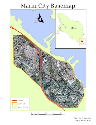
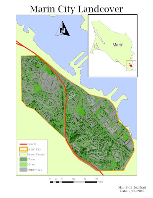
This is my map for the Prepare Week of the Landscape Design Project. This map shows zoomed in portion of Marin County Directly over Marin City. The map contains the county border, city border, an Orthoimage of the city, and any major roads that run through Marin City. The second map contains all the same components but I substituted my orthoimage with my classification image. Looking forward to Week 2, looks to be an interesting project

No comments:
Post a Comment