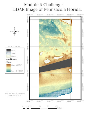
This is my map submission for the Module 5 LiDAR Challenge. The map image is a overhead photo of Pennsacola,Fl created using ArcGIS and LiDAR Technology. I some small issues while doing this challenge. First was trying to get the points to show up correctly after I had modified the column headings. And the other issue was that I forgot to change one fo the default settings from X to Z and it was making my raster show up as straight up and down colors instead of allowing it to look like an actual photo of something.
