 Caption:
Sunday, April 25, 2010
Monday, April 5, 2010
Module 11- Google Earth

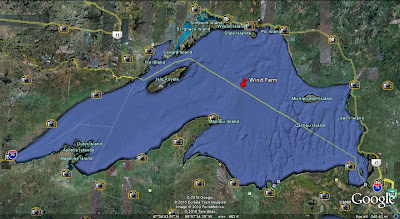
This is my potential Wind Farm, located in Lake Superior. This area is secluded and far away from any neighborhoods or businesses, which will help with any problems caused by "eye sores", Shadow Flicker, or Ice Throw. The area has significant wind speed to be able to turn the large wind turbines. Also being where it is, it is out of the path of any major bird migration routes.
Subscribe to:
Comments (Atom)
